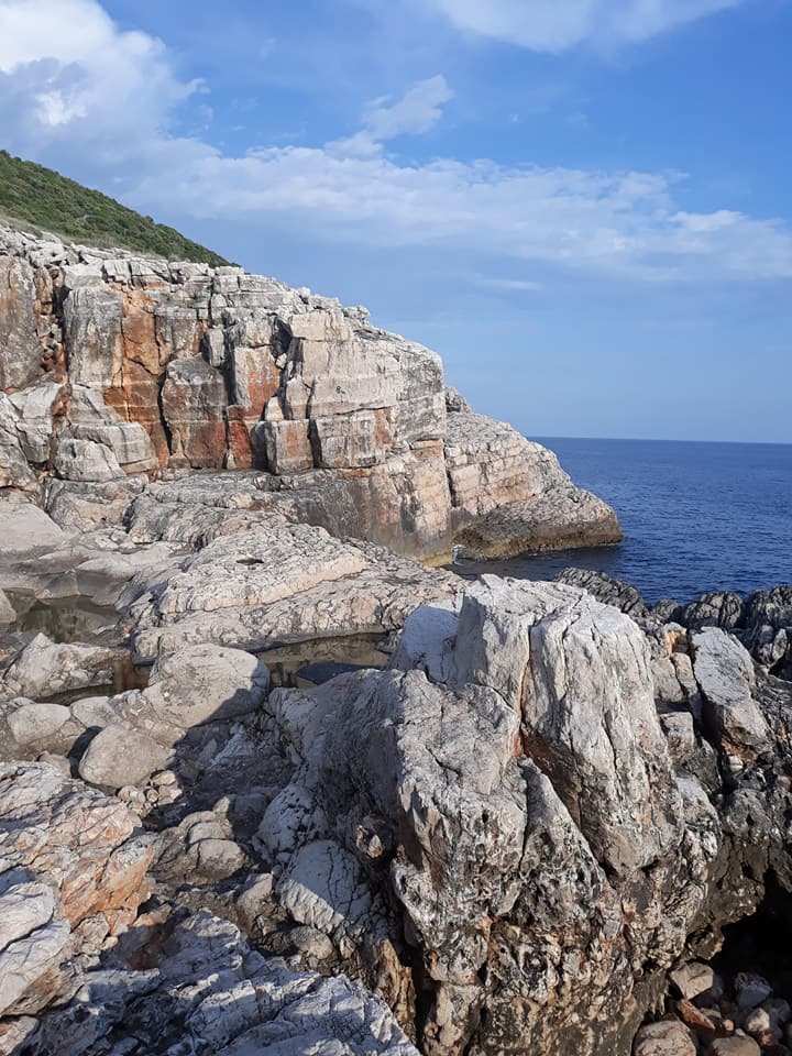
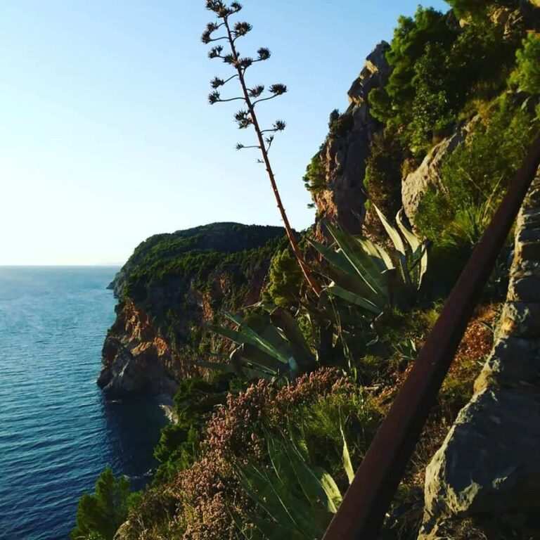
The Konavle coast stretches from the entrance the Bay of Kotor to the cove of Duboka Ljuta; its southernmost point is Cape Oštro, which is also the southernmost point of the Republic of Croatia. The coast stretching from Molunat to Cavtat is known as Konavle Cliffs (Konavoske stijene) due to its steep, inaccessible cliffs. Almost every hamlet in Donja banda (the coastal hilly region of Konavle) has access to the rocky shore. While some footpaths providing access to the shore have been widened and turned into dirt or even asphalt roads, others have remained unchanged since the era prior to modernisation. Certain trails, used mostly for access to vegetable gardens, have been overgrown to the point of impassability and have completely disappeared in several fires that have plagued the forest in the past fifty years. As a consequence, large beautiful drystone walls following the old rural lanes can be found in the forest of the Donja banda plateau. The romanticistic appearance of the old paths, wide enough to let a loaded mule pass between drystone walls, belies the stories of many generations racing to the nearest beach or leading sheep to the seashore. However, almost all the unwidened trails have been overgrown in bramble, ivy and broom, and memory of them is slowly fading.
Some of the paths leading to the Konavle Cliffs were included in the first Austrian land register for the Konavle region, made in 1837. The most clearly inscribed footpaths were the ones below Čilipi and Komaji, but that does not exclude the existence of such trails below other villages. In fact, the trails were often inscribed up to the top of the cliffs (navrh primorja), while the footpaths below those trails were not. The narrow paths descending along the edges of cliffs were also often disregarded due to the fact that they passed through multiple parcels owned by different owners. This is confirmed by an example from Močići, where drystone walls only partially delimited the parcels; from there, an unmarked pasture stretched toward the shore, despite the fact that the parcel’s boundaries were clearly defined in the cadastral map. In short, geodesists drew a line which followed the drystone walls’ respective trajectories to the end of the coast.
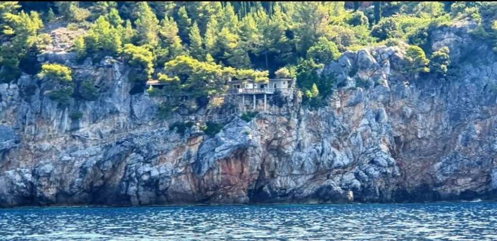
Nowadays, the mention of the Konavle Cliffs is most commonly associated with secluded swimming locations devoid of traffic and aeroplane noise, and therefore perfect for relaxing while savouring the scent of sea and pine. However, the Cliffs were once an essential part of the everyday life for the local residents. In winter months, in case of the shortage of hay, the hard-working Konavle women would pick the grass (skrada) at the top of the cliffs on regular basis. A testimony of the aforementioned practice was an unfortunate event from the 18th century – while a married couple was picking skrada, the husband tried to kill his wife by pushing her off the cliff. Luckily, the story had a happy ending, but it nonetheless serves as a testament to the harshness of the terrain in question.
The cliffs were also frequented by the locals in order to scrape salt crystals during the years marked by a rise in its price or by its general shortage. The narrators remember that people would go scraping salt off the rocks or from the dried rock pools, ‘cause in winter, when the south wind would make waves reaching up to 20 metres of height, seawater would accumulate in those pools.Aside from its use for food seasoning and preservation, salt was also used for feeding sheep, which required a certain percentage of salt in their diet. The Cliffs were also frequented in order to collect the seawater necessary for steaming figs and dipping olives so that they lose their bitterness. The narrators also remember that women would wash clothes in seawater on the cliffs, or they’d carry the seawater home in wooden pails (maštele) and then wash the clothes in stone troughs at home during the years marked by drought. The shirts would be stained by salt, but you didn’t have a choice, since there was no drinking water, you couldn’t wash them in anything but the sea. In some villages, where the paths to the cliffs were wider and thus more accessible, people would lead sheep to wash them before shearing.
Prior to the arrival of the railroad and the widening of the roads, several local cargo ports operated in certain parts of the Konavle Cliffs. The record of the ports’ existence can be found in the files documenting a trial from 1803, during which the Republic of Dubrovnik collected statements against those Konavle residents who staged a rebellion in 1799. Namely, a number of witnesses confirmed that the rebels had carried wood to the Pendža port, where the wood had been subsequently loaded on a boat. Although there is no other written historical reference to the ports on the Cliffs, it appears that the Konavle residents used them frequently to export heavy objects that could not be transported by land across greater distances. Moreover, the ports were probably also used for smuggling goods, people and anything else that might have been in short supply during unfortunate times.
The residents of the village Popovići can testify about using a part of the coast below the village for loading goods, calling that part of the shore Luka (‘the Port’); the part of the coast in question now forms a part of the famous Pasjača beach. Furthermore, the toponym Luka has been preserved as the name of Luka, a famous beach below Čilipi.
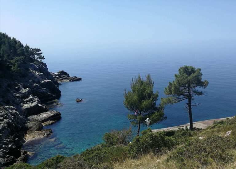
Extending for more than twenty kilometres, there are approximately twenty swimming and fishing locations along the Konavle Cliffs frequented at the present time. In winter, due to the high wind and large waves, one can reach only the very top of the cliffs and admire the force of nature, which in this part of the Adriatic coastline shows its contrasts at their starkest – the deepest sea and the tallest coastline.